
Leica BLK360 G2 Imaging Laser Scanner
High-speed miniaturized reality capture sensor
Detailed Technical Overview & Engineering Architecture
Core Engineering Capabilities
Technical Specifications & Metrology Tolerances
- Weight
- 0.75 kg
- Scan Speed
- < 20 seconds
- WeightVariant
- 0.75 kg
- Instrument Finish / ColorVariant
- Matte Black
- Scan SpeedVariant
- < 20 seconds
- Equipment PackageVariant
- Essential Kit
- WarrantyVariant
- 1 Year Standard
Compatible Precision Accessories & Tooling
Factory-certified tripods, prisms, and carbon poles engineered for optimal mechanical stability.
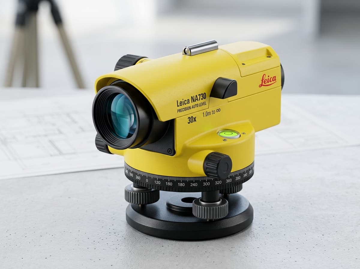
Robust 30x magnification automatic optical level with nitrogen-filled telescope, IP57 water resistance, and magnetic dampening compensator.
₹820
Top-tier electronic digital level engineered for geodetic height transfer, subsidence monitoring, and precision line leveling with automated staff aiming.
₹8,950Frequently Asked Questions
Related Surveying & Geosystems Hardware
Complementary rovers, total stations, and detection units in the same domain.

Leica RTC360 3D Laser Scanner
Fast, agile, precise 3D reality capture in seconds
2 million points per second scanning with HDR panoramic imaging. Visual Inertial System (VIS) tracks scanner positions in real-time for automated on-site registration.
2,000,000 pts/sec measuring rate with 1mm noise at 10m

Leica ScanStation P50
Long-range laser scanning for new build and retrofit
High-precision scanning for challenging structures and extensive sites.
Long-range scanning

Leica RTC360
Rapid reality capture for BIM and as-built work
Capture complete environments in minutes with high-speed laser scanning.
High-speed scanning